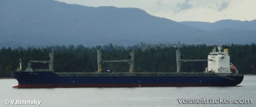
Star Lygra
Current StatusWhere is the vessel?
Star Lygra is currently in Open sea (no nearby ports in database), based on AIS data received about 15h ago.
Latest AIS update:
Current position: 35.99867° N, 176.29266° E (Open sea (no nearby ports in database))
Average speed (last 7 days): Loading…
Average speed (last 30 days): Loading…
Vessel profile: Star Lygra is a Multi Purpose Carrier with dimensions 32m x 204m.
This page combines live AIS, route history, probable destination signals, nearby traffic, and port activity for practical vessel monitoring.
The current position of vessel Star Lygra is 35.99867 lat / 176.29266 lng. Updated: 2026-05-20 10:08:36 UTCNearest reference points:
- Open sea (no nearby ports in database)
Details:
Live Vessel Star Lygra Analytics (details, animations, etc.)
Recent AIS points (UTC):
2026-05-20 07:24:24 UTC · 36.00167, 175.54333 · SOG 13 kn · COG -1°2026-05-20 08:17:57 UTC · 36.00138, 175.78929 · SOG 13.2 kn · COG 89°
2026-05-20 09:36:06 UTC · 36.00078, 176.14627 · SOG 13.2 kn · COG 90°
2026-05-20 10:08:36 UTC · 35.99867, 176.29266 · SOG 12.9 kn · COG 89°