 vesseltracker.com
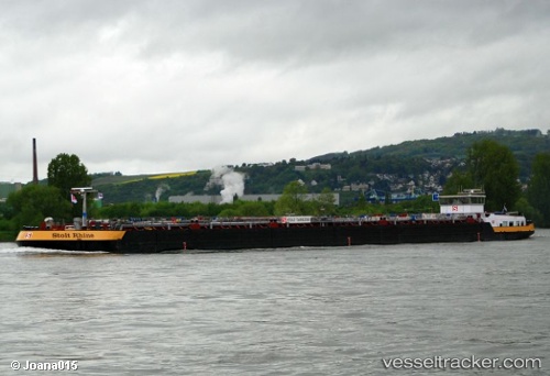
 Stolt Rhine
Current Status
Where is the vessel?
Stolt Rhine is currently in Near VONDELINGENPLAAT - ROTTERDAM, based on AIS data received about 1h ago.
Latest AIS update:
Current position: 51.90123° N, 4.35578° E (Near VONDELINGENPLAAT - ROTTERDAM)
Average speed (last 7 days): Loading…
Average speed (last 30 days): Loading…
Vessel profile: Stolt Rhine is a Other Tanker with dimensions 110m x 12m.
This page combines live AIS, route history, probable destination signals, nearby traffic, and port activity for practical vessel monitoring.
The current position of vessel Stolt Rhine is 51.90123 lat / 4.35578 lng. Updated: 2026-05-14 11:35:32 UTCNearest reference points:
- Near VONDELINGENPLAAT - ROTTERDAM
- Near VLAARDINGEN - ROTTERDAM
- Near Pernis
Currently sailing under the flag of Netherlands ![]()
Details:
Live Vessel Stolt Rhine Analytics (details, animations, etc.)
Recent AIS points (UTC):
2026-05-14 08:25:22 UTC · 51.90261, 4.44306 · SOG 0 kn · COG -1°2026-05-14 10:11:33 UTC · 51.90127, 4.35578 · SOG 0 kn · COG -1°
2026-05-14 10:41:33 UTC · 51.90123, 4.35575 · SOG 0 kn · COG -1°
2026-05-14 11:35:32 UTC · 51.90123, 4.35578 · SOG 0 kn · COG -1°