 MIA
MIA
Current Status
Where is the vessel?
MIA is currently in 96 nm E of Richards Bay, based on AIS data received about 14h ago.
Latest AIS update:
Current position: 28.42964° S, 33.88700° E (96 nm E of Richards Bay)
Average speed (last 7 days): Loading…
Average speed (last 30 days): Loading…
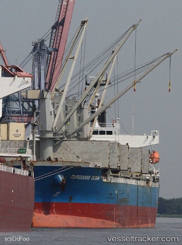
Vessel profile: MIA is a Bulk Carrier with dimensions m x m.
This page combines live AIS, route history, probable destination signals, nearby traffic, and port activity for practical vessel monitoring.
The current position of vessel MIA is -28.42964 lat / 33.88700 lng. Updated: 2026-05-21 03:49:55 UTCNearest reference points:
- 42 nm E of Richards Bay
- 163 nm SE of Richards Bay
- 162 nm SE of Xai-Xai
Currently sailing under the flag of San Marino ![]()
Details:
Live Vessel MIA Analytics (details, animations, etc.)
Recent AIS points (UTC):
2026-05-21 00:17:08 UTC · -28.77760, 33.25538 · SOG 10.6 kn · COG 60°2026-05-21 01:00:17 UTC · -28.70914, 33.38161 · SOG 10.8 kn · COG 59°
2026-05-21 02:10:36 UTC · -28.59574, 33.58561 · SOG 11 kn · COG 60°
2026-05-21 03:49:55 UTC · -28.42964, 33.88700 · SOG 11.5 kn · COG 60°