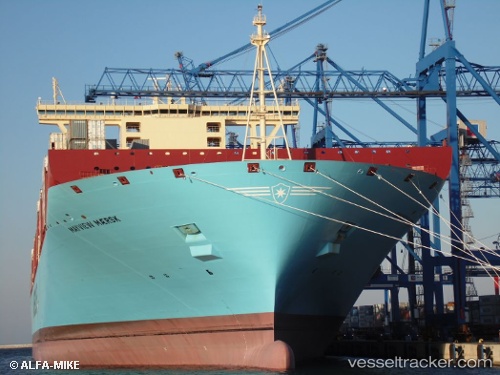
 Mayview Maersk
Current Status
Where is the vessel?
Mayview Maersk is currently in Near Altenwerder, based on AIS data received about 14h ago.
Latest AIS update:
Current position: 53.52887° N, 9.91777° E (Near Altenwerder)
Average speed (last 7 days): Loading…
Average speed (last 30 days): Loading…
Vessel profile: Mayview Maersk is a Container Ship with dimensions 399m x 60m.
This page combines live AIS, route history, probable destination signals, nearby traffic, and port activity for practical vessel monitoring.
The current position of vessel Mayview Maersk is 53.52887 lat / 9.91777 lng. Updated: 2026-05-20 08:04:31 UTCNearest reference points:
- Near Bahrenfeld
- Near Hamburg-Mitte
- Near Allermöhe
Currently sailing under the flag of Denmark ![]()
Mayview Maersk built in 2014 year
Deadweight:
196000 tDetails:
Live Vessel Mayview Maersk Analytics (details, animations, etc.)
Recent AIS points (UTC):
2026-05-20 04:40:31 UTC · 53.52887, 9.91775 · SOG 0 kn · COG 305°2026-05-20 06:04:31 UTC · 53.52887, 9.91773 · SOG 0 kn · COG 305°
2026-05-20 07:43:31 UTC · 53.52887, 9.91775 · SOG 0 kn · COG 305°
2026-05-20 08:04:31 UTC · 53.52887, 9.91777 · SOG 0 kn · COG 305°