 LILA CASABLANCA
Current Status
Where is the vessel?
LILA CASABLANCA is currently in Near Nouakchott, based on AIS data received about 14h ago.
Latest AIS update:
Current position: 17.96101° N, 16.13605° W (Near Nouakchott)
Average speed (last 7 days): Loading…
Average speed (last 30 days): Loading…
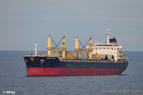
Vessel profile: LILA CASABLANCA is a Bulk Carrier with dimensions m x m.
This page combines live AIS, route history, probable destination signals, nearby traffic, and port activity for practical vessel monitoring.
The current position of vessel LILA CASABLANCA is 17.96101 lat / -16.13605 lng. Updated: 2026-06-30 22:04:52 UTCNearest reference points:
- 90 nm W of Nouakchott
- 96 nm NW of Nouakchott
- 100 nm NW of Saint Louis
Currently sailing under the flag of Marshall Islands ![]()
Details:
Live Vessel LILA CASABLANCA Analytics (details, animations, etc.)
Recent AIS points (UTC):
2026-06-30 18:06:33 UTC · 17.96091, -16.13600 · SOG 0.1 kn · COG 246°2026-06-30 19:12:28 UTC · 17.96112, -16.13613 · SOG 0.1 kn · COG 238°
2026-06-30 19:48:32 UTC · 17.96101, -16.13609 · SOG 0.1 kn · COG 245°
2026-06-30 22:04:52 UTC · 17.96101, -16.13605 · SOG 0.2 kn · COG -1°