 LILA NOLA
Current Status
Where is the vessel?
LILA NOLA is currently in Near DAESAN, based on AIS data received about 14h ago.
Latest AIS update:
Current position: 37.01374° N, 126.43180° E (Near DAESAN)
Average speed (last 7 days): Loading…
Average speed (last 30 days): Loading…
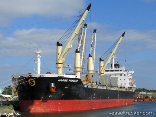
Vessel profile: LILA NOLA is a Bulk Carrier with dimensions 180m x 30m.
This page combines live AIS, route history, probable destination signals, nearby traffic, and port activity for practical vessel monitoring.
The current position of vessel LILA NOLA is 37.01374 lat / 126.43180 lng. Updated: 2026-06-22 01:50:24 UTCNearest reference points:
- Near DAESAN
- 10 nm N of DAESAN
- 14 nm SW of Incheon
Currently sailing under the flag of Liberia ![]()
LILA NOLA built in 2012 year
Deadweight:
35501 tDetails:
Live Vessel LILA NOLA Analytics (details, animations, etc.)
Recent AIS points (UTC):
2026-06-21 21:26:31 UTC · 37.01374, 126.43181 · SOG 0 kn · COG 109°2026-06-21 22:23:51 UTC · 37.01333, 126.43167 · SOG 0 kn · COG -1°
2026-06-22 00:14:26 UTC · 37.01373, 126.43170 · SOG 0 kn · COG 109°
2026-06-22 01:50:24 UTC · 37.01374, 126.43180 · SOG 0 kn · COG 109°