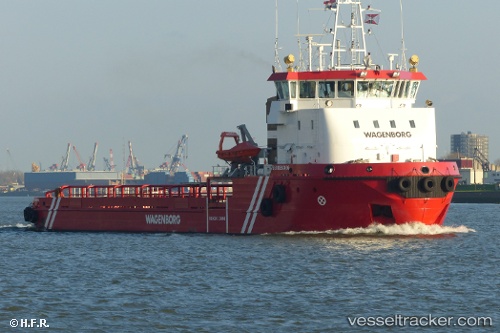
 Statiaborg
Current Status
Where is the vessel?
Statiaborg is currently in Near Oranjestad, based on AIS data received about 14h ago.
Latest AIS update:
Current position: 17.51657° N, 63.00720° W (Near Oranjestad)
Average speed (last 7 days): Loading…
Average speed (last 30 days): Loading…
Vessel profile: Statiaborg is a Offshore Tug Supply Ship with dimensions 68m x 68m.
This page combines live AIS, route history, probable destination signals, nearby traffic, and port activity for practical vessel monitoring.
The current position of vessel Statiaborg is 17.51657 lat / -63.00720 lng. Updated: 2026-06-22 06:32:05 UTCNearest reference points:
- Near GUSTAVIA
- Near ST MAARTEN
- Near Saint John's
Currently sailing under the flag of Netherlands ![]()
Statiaborg built in 2012 year
Deadweight:
867 tDetails:
Live Vessel Statiaborg Analytics (details, animations, etc.)
Recent AIS points (UTC):
2026-06-22 01:41:34 UTC · 17.51807, -63.00760 · SOG 0.1 kn · COG 15°2026-06-22 03:54:48 UTC · 17.51657, -63.00718 · SOG 0.3 kn · COG 359°
2026-06-22 05:10:45 UTC · 17.51653, -63.00727 · SOG 0 kn · COG 339°
2026-06-22 06:32:05 UTC · 17.51657, -63.00720 · SOG 0.1 kn · COG 359°