 vesseltracker.com
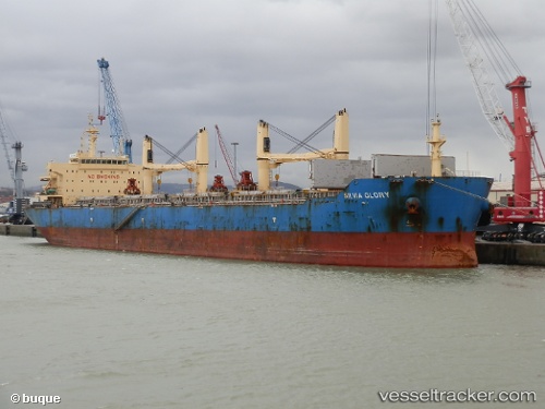
 XIN WU XIANG HAI
Current Status
Where is the vessel?
XIN WU XIANG HAI is currently in 45 nm E of Dung Quat Petroleum Port, based on AIS data received less than 1h ago.
Latest AIS update:
Current position: 15.21176° N, 109.60319° E (45 nm E of Dung Quat Petroleum Port)
Average speed (last 7 days): Loading…
Average speed (last 30 days): Loading…
Vessel profile: XIN WU XIANG HAI is a Bulk Carrier with dimensions 32m x 190m.
This page combines live AIS, route history, probable destination signals, nearby traffic, and port activity for practical vessel monitoring.
The current position of vessel XIN WU XIANG HAI is 15.21176 lat / 109.60319 lng. Updated: 2026-05-14 07:58:46 UTCNearest reference points:
- 17 nm NE of Bong Son
- Near Bong Son
- Near DUNG QUAT
Currently sailing under the flag of China Peopless Republic ![]()
XIN WU XIANG HAI built in 2012 year
Deadweight:
56797 tDetails:
Live Vessel XIN WU XIANG HAI Analytics (details, animations, etc.)
Recent AIS points (UTC):
2026-05-14 04:31:36 UTC · 15.71420, 109.19064 · SOG 11 kn · COG 136°2026-05-14 05:29:09 UTC · 15.58833, 109.32333 · SOG 11 kn · COG -1°
2026-05-14 07:45:25 UTC · 15.25105, 109.59538 · SOG 10.8 kn · COG 170°
2026-05-14 07:58:46 UTC · 15.21176, 109.60319 · SOG 10.6 kn · COG 167°