 MINOAN SEA
Current Status
Where is the vessel?
MINOAN SEA is currently in 257 nm S of Sao Filipe, based on AIS data received about 14h ago.
Latest AIS update:
Current position: 10.64258° N, 24.02488° W (257 nm S of Sao Filipe)
Average speed (last 7 days): Loading…
Average speed (last 30 days): Loading…
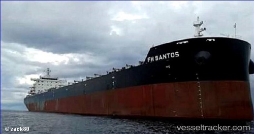
Vessel profile: MINOAN SEA is a Cargo with dimensions m x m.
This page combines live AIS, route history, probable destination signals, nearby traffic, and port activity for practical vessel monitoring.
The current position of vessel MINOAN SEA is 10.64258 lat / -24.02488 lng. Updated: 2026-05-21 04:19:01 UTCNearest reference points:
- Open sea (no nearby ports in database)
- Open sea, approx. 555 nm off the nearest listed port
- Open sea, approx. 530 nm off the nearest listed port
Currently sailing under the flag of Liberia ![]()
Details:
Live Vessel MINOAN SEA Analytics (details, animations, etc.)
Recent AIS points (UTC):
2026-05-21 01:31:29 UTC · 10.20647, -24.22590 · SOG 10.2 kn · COG 22°2026-05-21 02:28:56 UTC · 10.35797, -24.15712 · SOG 10.6 kn · COG 26°
2026-05-21 03:32:08 UTC · 10.52326, -24.08017 · SOG 10.2 kn · COG 26°
2026-05-21 04:19:01 UTC · 10.64258, -24.02488 · SOG 10 kn · COG 21°