 BRAVERY
Current Status
Where is the vessel?
BRAVERY is currently in 12 nm E of Lung-men, based on AIS data received about 14h ago.
Latest AIS update:
Current position: 23.52428° N, 119.88095° E (12 nm E of Lung-men)
Average speed (last 7 days): Loading…
Average speed (last 30 days): Loading…
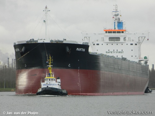
Vessel profile: BRAVERY is a Cargo with dimensions m x m.
This page combines live AIS, route history, probable destination signals, nearby traffic, and port activity for practical vessel monitoring.
The current position of vessel BRAVERY is 23.52428 lat / 119.88095 lng. Updated: 2026-05-19 02:07:29 UTCNearest reference points:
- Near Lung-men
- Near MAGONG
- Near MAILIAO
Currently sailing under the flag of Liberia ![]()
Details:
Live Vessel BRAVERY Analytics (details, animations, etc.)
Recent AIS points (UTC):
2026-05-18 22:23:23 UTC · 22.66532, 119.81546 · SOG 12.1 kn · COG 1°2026-05-19 00:15:03 UTC · 23.06860, 119.85308 · SOG 13.4 kn · COG 6°
2026-05-19 02:02:36 UTC · 23.50372, 119.88026 · SOG 15.3 kn · COG 1°
2026-05-19 02:07:29 UTC · 23.52428, 119.88095 · SOG 15.3 kn · COG -1°