 WORLDSHIP
Current Status
Where is the vessel?
WORLDSHIP is currently in 235 nm S of Deboyne Lagoon, based on AIS data received about 14h ago.
Latest AIS update:
Current position: 14.68460° S, 152.76154° E (235 nm S of Deboyne Lagoon)
Average speed (last 7 days): Loading…
Average speed (last 30 days): Loading…
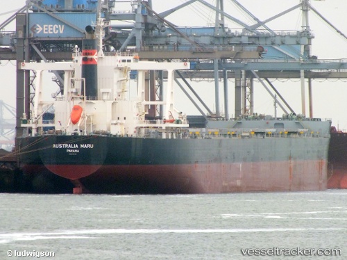
Vessel profile: WORLDSHIP is a Bulk Carrier with dimensions 45m x 292m.
This page combines live AIS, route history, probable destination signals, nearby traffic, and port activity for practical vessel monitoring.
The current position of vessel WORLDSHIP is -14.68460 lat / 152.76154 lng. Updated: 2026-05-20 13:08:00 UTCNearest reference points:
- 209 nm N of Coral Sea
Currently sailing under the flag of Marshall Islands ![]()
WORLDSHIP built in 2012 year
Deadweight:
181415 tDetails:
Live Vessel WORLDSHIP Analytics (details, animations, etc.)
Recent AIS points (UTC):
2026-05-20 09:42:44 UTC · -15.28739, 152.87875 · SOG 10.5 kn · COG 354°2026-05-20 10:52:19 UTC · -15.08594, 152.84415 · SOG 10.3 kn · COG 352°
2026-05-20 12:01:28 UTC · -14.88514, 152.80531 · SOG 10.8 kn · COG 350°
2026-05-20 13:08:00 UTC · -14.68460, 152.76154 · SOG 11.2 kn · COG 354°