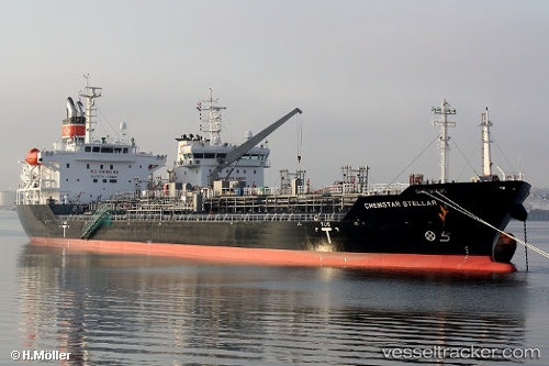
 CHEM PLUTO
Current Status
Where is the vessel?
CHEM PLUTO is currently in 95 nm S of Tsiombe, based on AIS data received about 15h ago.
Latest AIS update:
Current position: 26.86181° S, 45.74415° E (95 nm S of Tsiombe)
Average speed (last 7 days): Loading…
Average speed (last 30 days): Loading…
Vessel profile: CHEM PLUTO is a Chemical/Oil Products Tanker with dimensions 149m x 149m.
This page combines live AIS, route history, probable destination signals, nearby traffic, and port activity for practical vessel monitoring.
The current position of vessel CHEM PLUTO is -26.86181 lat / 45.74415 lng. Updated: 2026-05-21 05:57:27 UTCNearest reference points:
- 106 nm S of Tsiombe
- 70 nm SW of Tsiombe
- 174 nm S of Ambovombe
Currently sailing under the flag of Liberia ![]()
CHEM PLUTO built in 2012 year
Deadweight:
21323 tDetails:
Live Vessel CHEM PLUTO Analytics (details, animations, etc.)
Recent AIS points (UTC):
2026-05-21 01:41:38 UTC · -26.49268, 46.63484 · SOG 12.5 kn · COG 252°2026-05-21 03:53:16 UTC · -26.68496, 46.16689 · SOG 12.7 kn · COG 241°
2026-05-21 04:12:07 UTC · -26.71430, 46.10290 · SOG 12 kn · COG 242°
2026-05-21 05:57:27 UTC · -26.86181, 45.74415 · SOG 11.8 kn · COG 245°