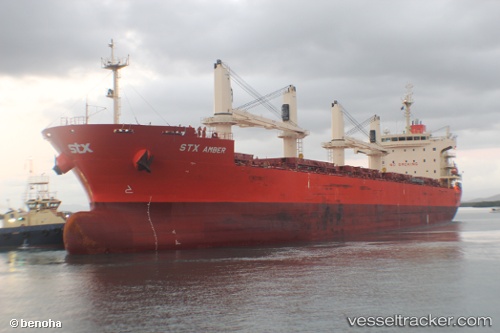
Pan Amber
Current StatusWhere is the vessel?
Pan Amber is currently in 101 nm N of PANGKAL BALAM, based on AIS data received about 14h ago.
Latest AIS update:
Current position: 0.45635° S, 106.48423° E (101 nm N of PANGKAL BALAM)
Average speed (last 7 days): Loading…
Average speed (last 30 days): Loading…
Vessel profile: Pan Amber is a Bulk Carrier with dimensions 30m x 189m.
This page combines live AIS, route history, probable destination signals, nearby traffic, and port activity for practical vessel monitoring.
The current position of vessel Pan Amber is -0.45635 lat / 106.48423 lng. Updated: 2026-05-20 15:55:19 UTCNearest reference points:
- 69 nm NE of Exspan
- Near PANGKAL BALAM
- 46 nm NW of Tanjung Pandan
Details:
Live Vessel Pan Amber Analytics (details, animations, etc.)
Recent AIS points (UTC):
2026-05-20 11:28:16 UTC · 0.24330, 105.79764 · SOG 13.7 kn · COG -1°2026-05-20 11:28:16 UTC · 0.24330, 105.79764 · SOG 13.7 kn · COG -1°
2026-05-20 14:20:44 UTC · -0.20350, 106.25056 · SOG 13.2 kn · COG 131°
2026-05-20 15:55:19 UTC · -0.45635, 106.48423 · SOG 13.2 kn · COG 129°