 Vectis Isle
Current Status
Where is the vessel?
Vectis Isle is currently in Near Marrero, based on AIS data received about 14h ago.
Latest AIS update:
Current position: 29.92096° N, 90.07414° W (Near Marrero)
Average speed (last 7 days): Loading…
Average speed (last 30 days): Loading…
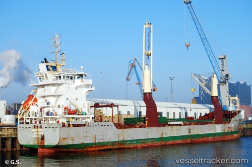
Vessel profile: Vectis Isle is a Multi Purpose Carrier with dimensions 124m x 18m.
This page combines live AIS, route history, probable destination signals, nearby traffic, and port activity for practical vessel monitoring.
The current position of vessel Vectis Isle is 29.92096 lat / -90.07414 lng. Updated: 2026-05-22 04:57:35 UTCNearest reference points:
- Near Marrero
- Near Meraux
- Near Boutte
Currently sailing under the flag of United Kingdom ![]()
Vectis Isle built in 2012 year
Deadweight:
10199 tDetails:
Live Vessel Vectis Isle Analytics (details, animations, etc.)
Recent AIS points (UTC):
2026-05-22 01:00:33 UTC · 29.92096, -90.07415 · SOG 0 kn · COG 63°2026-05-22 02:36:30 UTC · 29.92095, -90.07414 · SOG 0.1 kn · COG 63°
2026-05-22 03:33:47 UTC · 29.92097, -90.07416 · SOG 0 kn · COG 63°
2026-05-22 04:57:35 UTC · 29.92096, -90.07414 · SOG 0 kn · COG 62°