 vesseltracker.com
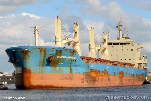
Mother M
Current StatusWhere is the vessel?
Mother M is currently in 18 nm E of Beira, based on AIS data received about 1h ago.
Latest AIS update:
Current position: 19.89167° S, 35.14333° E (18 nm E of Beira)
Average speed (last 7 days): Loading…
Average speed (last 30 days): Loading…
Vessel profile: Mother M is a Bulk Carrier with dimensions 30m x 182m.
This page combines live AIS, route history, probable destination signals, nearby traffic, and port activity for practical vessel monitoring.
The current position of vessel Mother M is -19.89167 lat / 35.14333 lng. Updated: 2026-05-14 13:54:08 UTCNearest reference points:
- 14 nm E of Beira
- 21 nm SE of Beira
- 24 nm SE of Beira
Details:
Live Vessel Mother M Analytics (details, animations, etc.)
Recent AIS points (UTC):
2026-05-14 10:05:33 UTC · -19.89271, 35.14196 · SOG 0.1 kn · COG 103°2026-05-14 12:14:32 UTC · -19.89267, 35.14182 · SOG 0 kn · COG 94°
2026-05-14 13:32:29 UTC · -19.89117, 35.14352 · SOG 0.4 kn · COG 176°
2026-05-14 13:54:08 UTC · -19.89167, 35.14333 · SOG 0 kn · COG -1°