 Eco
Eco
Current Status
Where is the vessel?
Eco is currently in Open sea, approx. 404 nm off the nearest listed port, based on AIS data received about 14h ago.
Latest AIS update:
Current position: 21.55877° S, 9.59356° W (Open sea, approx. 404 nm off the nearest listed port)
Average speed (last 7 days): Loading…
Average speed (last 30 days): Loading…
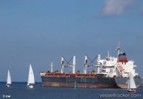
Vessel profile: Eco is a Bulk Carrier with dimensions 200m x 32m.
This page combines live AIS, route history, probable destination signals, nearby traffic, and port activity for practical vessel monitoring.
The current position of vessel Eco is -21.55877 lat / -9.59356 lng. Updated: 2026-05-20 11:38:44 UTCNearest reference points:
- Open sea, approx. 404 nm off the nearest listed port
- Open sea, approx. 405 nm off the nearest listed port
- Open sea, approx. 411 nm off the nearest listed port
Currently sailing under the flag of Marshall Is ![]()
Eco built in 2013 year
Deadweight:
63490 tDetails:
Live Vessel Eco Analytics (details, animations, etc.)
Recent AIS points (UTC):
2026-05-20 07:31:14 UTC · -21.18358, -10.15809 · SOG 9.4 kn · COG 127°2026-05-20 09:53:52 UTC · -21.40784, -9.83374 · SOG 8.9 kn · COG 123°
2026-05-20 10:31:39 UTC · -21.46157, -9.74969 · SOG 9 kn · COG 122°
2026-05-20 11:38:44 UTC · -21.55877, -9.59356 · SOG 9.6 kn · COG 123°