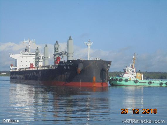
 JOHN K
Current Status
Where is the vessel?
JOHN K is currently in 180 nm NE of Mutsamudu, Anjouan, based on AIS data received about 14h ago.
Latest AIS update:
Current position: 9.43364° S, 45.65716° E (180 nm NE of Mutsamudu, Anjouan)
Average speed (last 7 days): Loading…
Average speed (last 30 days): Loading…
Vessel profile: JOHN K is a Bulk Carrier with dimensions m x m.
This page combines live AIS, route history, probable destination signals, nearby traffic, and port activity for practical vessel monitoring.
The current position of vessel JOHN K is -9.43364 lat / 45.65716 lng. Updated: 2026-07-14 01:34:04 UTCNearest reference points:
- 184 nm N of Mutsamudu, Anjouan
- 270 nm NE of Mtwara
- 47 nm NW of Mohéli Apt
Currently sailing under the flag of Liberia ![]()
Details:
Live Vessel JOHN K Analytics (details, animations, etc.)
Recent AIS points (UTC):
2026-07-13 21:49:55 UTC · -9.20908, 45.96118 · SOG 6.2 kn · COG 229°2026-07-13 22:34:36 UTC · -9.25216, 45.89350 · SOG 6.5 kn · COG 231°
2026-07-13 23:39:14 UTC · -9.31908, 45.80323 · SOG 5.9 kn · COG 228°
2026-07-14 01:34:04 UTC · -9.43364, 45.65716 · SOG 6 kn · COG 235°