 DREAM
DREAM
Current Status
Where is the vessel?
DREAM is currently in 19 nm SW of Bishop Rock, based on AIS data received about 14h ago.
Latest AIS update:
Current position: 49.57838° N, 6.99404° W (19 nm SW of Bishop Rock)
Average speed (last 7 days): Loading…
Average speed (last 30 days): Loading…
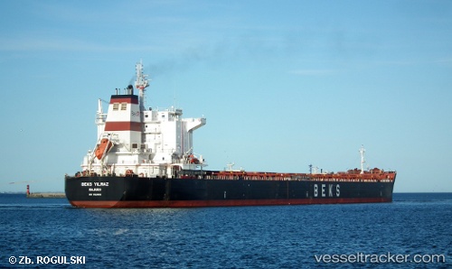
Vessel profile: DREAM is a Bulk Carrier with dimensions m x m.
This page combines live AIS, route history, probable destination signals, nearby traffic, and port activity for practical vessel monitoring.
The current position of vessel DREAM is 49.57838 lat / -6.99404 lng. Updated: 2026-05-22 04:25:56 UTCNearest reference points:
- 28 nm N of San Clodio
- Near Isles of Scilly
- 16 nm NW of Ile D’Ouessant
Currently sailing under the flag of Barbados ![]()
Details:
Live Vessel DREAM Analytics (details, animations, etc.)
Recent AIS points (UTC):
2026-05-22 01:21:31 UTC · 50.14628, -6.71283 · SOG 11.8 kn · COG 197°2026-05-22 02:35:19 UTC · 49.91248, -6.82193 · SOG 11.8 kn · COG 196°
2026-05-22 03:58:31 UTC · 49.65997, -6.96016 · SOG 11.2 kn · COG 194°
2026-05-22 04:25:56 UTC · 49.57838, -6.99404 · SOG 10.9 kn · COG 194°