 Sunrise g
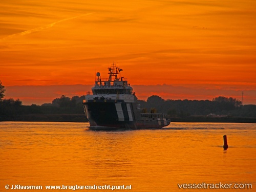
Current Status
Where is the vessel?
Sunrise g is currently in 70 nm SW of Bayan Lepas, based on AIS data received about 15h ago.
Latest AIS update:
Current position: 4.82667° N, 99.18167° E (70 nm SW of Bayan Lepas)
Average speed (last 7 days): Loading…
Average speed (last 30 days): Loading…
Vessel profile: Sunrise g is a Offshore Tug Supply Ship with dimensions 60m x 16m.
This page combines live AIS, route history, probable destination signals, nearby traffic, and port activity for practical vessel monitoring.
The current position of vessel Sunrise g is 4.82667 lat / 99.18167 lng. Updated: 2026-05-20 04:09:20 UTCNearest reference points:
- 43 nm NE of PANGKALAN SUSU
- 43 nm NE of Perbaungan
- 10 nm NE of Belawan
Currently sailing under the flag of Panama ![]()
Sunrise g built in 2014 year
Deadweight:
2057 tDetails:
Live Vessel Sunrise g Analytics (details, animations, etc.)
Recent AIS points (UTC):
2026-05-20 01:45:20 UTC · 4.86667, 99.32500 · SOG 3 kn · COG -1°2026-05-20 02:30:21 UTC · 4.85833, 99.28167 · SOG 3 kn · COG -1°
2026-05-20 03:21:20 UTC · 4.83500, 99.23333 · SOG 3 kn · COG -1°
2026-05-20 04:09:20 UTC · 4.82667, 99.18167 · SOG 3 kn · COG -1°