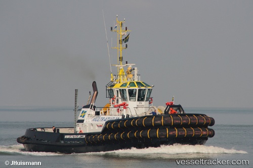
 Multratug 19
Current Status
Where is the vessel?
Multratug 19 is currently in Near Rødbyhavn, based on AIS data received about 14h ago.
Latest AIS update:
Current position: 54.63649° N, 11.38749° E (Near Rødbyhavn)
Average speed (last 7 days): Loading…
Average speed (last 30 days): Loading…
Vessel profile: Multratug 19 is a Tug with dimensions 32m x 12m.
This page combines live AIS, route history, probable destination signals, nearby traffic, and port activity for practical vessel monitoring.
The current position of vessel Multratug 19 is 54.63649 lat / 11.38749 lng. Updated: 2026-05-21 04:02:09 UTCNearest reference points:
- Near Reersoe
- Near BURGSTAAKEN
- Near Grossenbrode
Currently sailing under the flag of Netherlands ![]()
Multratug 19 built in 2012 year
Deadweight:
226 tDetails:
Live Vessel Multratug 19 Analytics (details, animations, etc.)
Recent AIS points (UTC):
2026-05-20 23:26:08 UTC · 54.63638, 11.38762 · SOG 0 kn · COG 205°2026-05-21 01:26:10 UTC · 54.63640, 11.38772 · SOG 0 kn · COG 206°
2026-05-21 01:44:12 UTC · 54.63641, 11.38769 · SOG 0 kn · COG 206°
2026-05-21 04:02:09 UTC · 54.63649, 11.38749 · SOG 0 kn · COG 206°