 Ocean Alignment
Current Status
Where is the vessel?
Ocean Alignment is currently in 221 nm SE of Mitchem, based on AIS data received about 14h ago.
Latest AIS update:
Current position: 48.59257° N, 171.56966° W (221 nm SE of Mitchem)
Average speed (last 7 days): Loading…
Average speed (last 30 days): Loading…
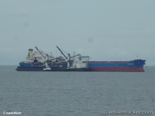
Vessel profile: Ocean Alignment is a Bulk Carrier with dimensions 235m x 38m.
This page combines live AIS, route history, probable destination signals, nearby traffic, and port activity for practical vessel monitoring.
The current position of vessel Ocean Alignment is 48.59257 lat / -171.56966 lng. Updated: 2026-05-21 04:05:42 UTCCurrently sailing under the flag of Hong Kong ![]()
Details:
Live Vessel Ocean Alignment Analytics (details, animations, etc.)
Recent AIS points (UTC):
2026-05-21 01:06:13 UTC · 48.51228, -172.44801 · SOG 13 kn · COG 86°2026-05-21 02:43:53 UTC · 48.55497, -171.94743 · SOG 12.2 kn · COG 83°
2026-05-21 03:25:05 UTC · 48.57497, -171.75528 · SOG 11.1 kn · COG 82°
2026-05-21 04:05:42 UTC · 48.59257, -171.56966 · SOG 10.8 kn · COG 83°