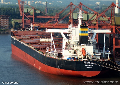
 Fakarava
Current Status
Where is the vessel?
Fakarava is currently in 91 nm S of Selat Lombok, based on AIS data received about 14h ago.
Latest AIS update:
Current position: 10.34113° S, 115.52374° E (91 nm S of Selat Lombok)
Average speed (last 7 days): Loading…
Average speed (last 30 days): Loading…
Vessel profile: Fakarava is a Bulk Carrier with dimensions 300m x 50m.
This page combines live AIS, route history, probable destination signals, nearby traffic, and port activity for practical vessel monitoring.
The current position of vessel Fakarava is -10.34113 lat / 115.52374 lng. Updated: 2026-05-19 20:13:38 UTCNearest reference points:
- Near BENOA
- Near LEMBAR
- 86 nm SE of BENETE
Currently sailing under the flag of Malta ![]()
Details:
Live Vessel Fakarava Analytics (details, animations, etc.)
Recent AIS points (UTC):
2026-05-19 16:58:52 UTC · -9.65822, 115.58115 · SOG 13.4 kn · COG 182°2026-05-19 18:08:59 UTC · -9.91131, 115.56134 · SOG 12.6 kn · COG 183°
2026-05-19 19:13:03 UTC · -10.13805, 115.54085 · SOG 12.2 kn · COG -1°
2026-05-19 20:13:38 UTC · -10.34113, 115.52374 · SOG 11.8 kn · COG 181°