 OCEAN ARSENAL
Current Status
Where is the vessel?
OCEAN ARSENAL is currently in Near Ghazaouet, based on AIS data received about 14h ago.
Latest AIS update:
Current position: 35.13409° N, 1.86152° W (Near Ghazaouet)
Average speed (last 7 days): Loading…
Average speed (last 30 days): Loading…
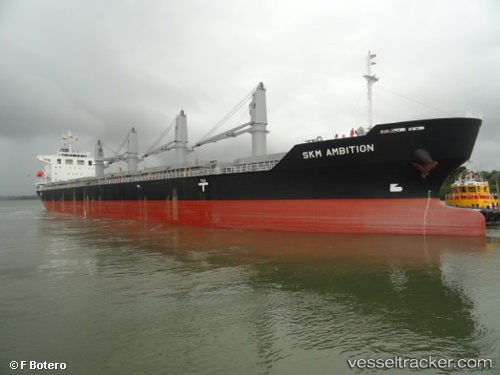
Vessel profile: OCEAN ARSENAL is a Bulk Carrier with dimensions m x m.
This page combines live AIS, route history, probable destination signals, nearby traffic, and port activity for practical vessel monitoring.
The current position of vessel OCEAN ARSENAL is 35.13409 lat / -1.86152 lng. Updated: 2026-05-20 10:33:05 UTCNearest reference points:
- 28 nm N of Melilla
- 37 nm S of Las Noras de Daza
- 27 nm SE of El Alquian
Currently sailing under the flag of Barbados ![]()
Details:
Live Vessel OCEAN ARSENAL Analytics (details, animations, etc.)
Recent AIS points (UTC):
2026-05-20 07:24:04 UTC · 35.13439, -1.86176 · SOG 0 kn · COG 218°2026-05-20 07:30:06 UTC · 35.13436, -1.86180 · SOG 0 kn · COG 219°
2026-05-20 09:54:02 UTC · 35.13426, -1.86158 · SOG 0 kn · COG 229°
2026-05-20 10:33:05 UTC · 35.13409, -1.86152 · SOG 0 kn · COG 239°