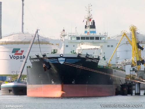
 JAG PRANESH
Current Status
Where is the vessel?
JAG PRANESH is currently in 47 nm N of Darnah, based on AIS data received about 18h ago.
Latest AIS update:
Current position: 33.55528° N, 22.66242° E (47 nm N of Darnah)
Average speed (last 7 days): Loading…
Average speed (last 30 days): Loading…
Vessel profile: JAG PRANESH is a Oil/Chemical Tanker with dimensions m x m.
This page combines live AIS, route history, probable destination signals, nearby traffic, and port activity for practical vessel monitoring.
The current position of vessel JAG PRANESH is 33.55528 lat / 22.66242 lng. Updated: 2026-05-21 17:22:01 UTCNearest reference points:
- 85 nm W of Paleochora
- 59 nm W of Paleochora
- 67 nm S of Kali Limenes
Currently sailing under the flag of Marshall Islands ![]()
Details:
Live Vessel JAG PRANESH Analytics (details, animations, etc.)
Recent AIS points (UTC):
2026-05-21 15:35:52 UTC · 33.60368, 23.07644 · SOG 11.8 kn · COG 263°2026-05-21 17:22:01 UTC · 33.55528, 22.66242 · SOG 12.2 kn · COG 266°
2026-05-21 17:22:01 UTC · 33.55528, 22.66242 · SOG 12.2 kn · COG 266°
2026-05-21 17:22:01 UTC · 33.55528, 22.66242 · SOG 12.2 kn · COG 266°