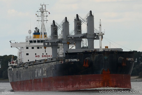
 Cielo Di Tocopilla
Current Status
Where is the vessel?
Cielo Di Tocopilla is currently in 249 nm W of Frontera, based on AIS data received about 14h ago.
Latest AIS update:
Current position: 28.14252° N, 22.66696° W (249 nm W of Frontera)
Average speed (last 7 days): Loading…
Average speed (last 30 days): Loading…
Vessel profile: Cielo Di Tocopilla is a Bulk Carrier with dimensions 180m x 30m.
This page combines live AIS, route history, probable destination signals, nearby traffic, and port activity for practical vessel monitoring.
The current position of vessel Cielo Di Tocopilla is 28.14252 lat / -22.66696 lng. Updated: 2026-05-20 04:45:37 UTCNearest reference points:
- 119 nm W of Frontera
Currently sailing under the flag of Liberia ![]()
Details:
Live Vessel Cielo Di Tocopilla Analytics (details, animations, etc.)
Recent AIS points (UTC):
2026-05-20 01:16:49 UTC · 27.41416, -23.01846 · SOG 13.8 kn · COG 23°2026-05-20 03:03:48 UTC · 27.78798, -22.83870 · SOG 13.4 kn · COG 23°
2026-05-20 03:03:48 UTC · 27.78798, -22.83870 · SOG 13.4 kn · COG 23°
2026-05-20 04:45:37 UTC · 28.14252, -22.66696 · SOG 13.7 kn · COG 23°