 MUKAVEMET
Current Status
Where is the vessel?
MUKAVEMET is currently in 81 nm NW of Bartin, based on AIS data received about 16h ago.
Latest AIS update:
Current position: 42.86162° N, 31.35414° E (81 nm NW of Bartin)
Average speed (last 7 days): Loading…
Average speed (last 30 days): Loading…
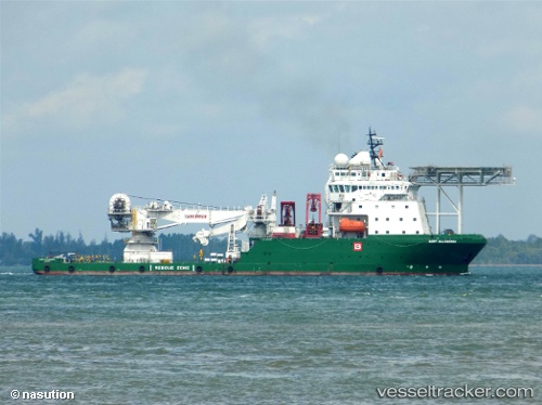
Vessel profile: MUKAVEMET is a Other Type with dimensions m x m.
This page combines live AIS, route history, probable destination signals, nearby traffic, and port activity for practical vessel monitoring.
The current position of vessel MUKAVEMET is 42.86162 lat / 31.35414 lng. Updated: 2026-05-21 19:27:38 UTCNearest reference points:
- Near Erdemir
- 54 nm SE of Sveti Nikola
- Near Cide
Currently sailing under the flag of Turkey ![]()
Details:
Live Vessel MUKAVEMET Analytics (details, animations, etc.)
Recent AIS points (UTC):
2026-05-21 16:19:52 UTC · 42.86471, 31.34698 · SOG 0.4 kn · COG 271°2026-05-21 17:40:59 UTC · 42.86667, 31.35348 · SOG 0 kn · COG 267°
2026-05-21 19:12:23 UTC · 42.86167, 31.35333 · SOG 0 kn · COG -1°
2026-05-21 19:27:38 UTC · 42.86162, 31.35414 · SOG 0 kn · COG 195°