 XING TONG KAI YUAN
Current Status
Where is the vessel?
XING TONG KAI YUAN is currently in 274 nm S of Shark El Oweinat, based on AIS data received about 15h ago.
Latest AIS update:
Current position: 18.05502° N, 28.14786° E (274 nm S of Shark El Oweinat)
Average speed (last 7 days): Loading…
Average speed (last 30 days): Loading…
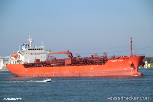
Vessel profile: XING TONG KAI YUAN is a Oil/Chemical Tanker with dimensions m x m.
This page combines live AIS, route history, probable destination signals, nearby traffic, and port activity for practical vessel monitoring.
The current position of vessel XING TONG KAI YUAN is 18.05502 lat / 28.14786 lng. Updated: 2026-06-03 05:14:13 UTCNearest reference points:
- 203 nm NW of El Obeid
Currently sailing under the flag of China ![]()
Details:
Live Vessel XING TONG KAI YUAN Analytics (details, animations, etc.)
Recent AIS points (UTC):
2026-06-03 05:14:13 UTC · 18.05502, 28.14786 · SOG 19.1 kn · COG 137°2026-06-03 05:14:13 UTC · 18.05502, 28.14786 · SOG 19.1 kn · COG 137°
2026-06-03 05:14:13 UTC · 18.05502, 28.14786 · SOG 19.1 kn · COG 137°
2026-06-03 05:14:13 UTC · 18.05502, 28.14786 · SOG 19.1 kn · COG 137°