 NEPTUNE HP66
Current Status
Where is the vessel?
NEPTUNE HP66 is currently in Near Campha, based on AIS data received about 14h ago.
Latest AIS update:
Current position: 20.98299° N, 107.37435° E (Near Campha)
Average speed (last 7 days): Loading…
Average speed (last 30 days): Loading…
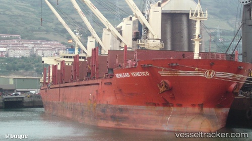
Vessel profile: NEPTUNE HP66 is a Bulk Carrier with dimensions m x m.
This page combines live AIS, route history, probable destination signals, nearby traffic, and port activity for practical vessel monitoring.
The current position of vessel NEPTUNE HP66 is 20.98299 lat / 107.37435 lng. Updated: 2026-05-19 23:07:18 UTCNearest reference points:
- 13 nm E of Campha
- 18 nm SE of Ha Long
- 24 nm SE of Campha
Currently sailing under the flag of Panama ![]()
Details:
Live Vessel NEPTUNE HP66 Analytics (details, animations, etc.)
Recent AIS points (UTC):
2026-05-19 19:19:17 UTC · 20.98021, 107.37239 · SOG 0 kn · COG 358°2026-05-19 20:13:12 UTC · 20.98096, 107.37318 · SOG 0.1 kn · COG 296°
2026-05-19 21:26:14 UTC · 20.98167, 107.37333 · SOG 0 kn · COG -1°
2026-05-19 23:07:18 UTC · 20.98299, 107.37435 · SOG 0.2 kn · COG 245°