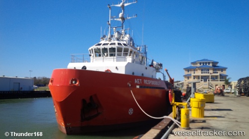
 Aet Responsibility
Current Status
Where is the vessel?
Aet Responsibility is currently in 32 nm E of Quintana, based on AIS data received about 15h ago.
Latest AIS update:
Current position: 28.74568° N, 94.71664° W (32 nm E of Quintana)
Average speed (last 7 days): Loading…
Average speed (last 30 days): Loading…
Vessel profile: Aet Responsibility is a Offshore Tug Supply Ship with dimensions 70m x 20m.
This page combines live AIS, route history, probable destination signals, nearby traffic, and port activity for practical vessel monitoring.
The current position of vessel Aet Responsibility is 28.74568 lat / -94.71664 lng. Updated: 2026-05-21 02:20:11 UTCNearest reference points:
- 39 nm S of Sheppard
- 43 nm SE of Sheppard
- 49 nm SE of Sheppard
Currently sailing under the flag of USA ![]()
Aet Responsibility built in 2012 year
Deadweight:
960 tDetails:
Live Vessel Aet Responsibility Analytics (details, animations, etc.)
Recent AIS points (UTC):
2026-05-20 21:36:24 UTC · 28.62253, -94.50389 · SOG 0.5 kn · COG 40°2026-05-20 22:39:25 UTC · 28.66481, -94.62051 · SOG 10.2 kn · COG 315°
2026-05-21 02:17:12 UTC · 28.74581, -94.71667 · SOG 0.5 kn · COG 76°
2026-05-21 02:20:11 UTC · 28.74568, -94.71664 · SOG 0.5 kn · COG 81°