 DE MI
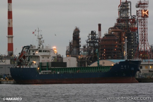
DE MI
Current Status
Where is the vessel?
DE MI is currently in Near NISHI, based on AIS data received about 14h ago.
Latest AIS update:
Current position: 42.99769° N, 144.32269° E (Near NISHI)
Average speed (last 7 days): Loading…
Average speed (last 30 days): Loading…
Vessel profile: DE MI is a Cargo with dimensions m x m.
This page combines live AIS, route history, probable destination signals, nearby traffic, and port activity for practical vessel monitoring.
The current position of vessel DE MI is 42.99769 lat / 144.32269 lng. Updated: 2026-05-21 04:25:18 UTCNearest reference points:
- Near NISHI
- Near Kushiro
- 11 nm NE of Tomari
Currently sailing under the flag of Sao Tome and Principe ![]()
Details:
Live Vessel DE MI Analytics (details, animations, etc.)
Recent AIS points (UTC):
2026-05-21 01:16:20 UTC · 42.99767, 144.32269 · SOG 0 kn · COG 11°2026-05-21 01:31:17 UTC · 42.99769, 144.32269 · SOG 0 kn · COG 11°
2026-05-21 03:31:18 UTC · 42.99769, 144.32268 · SOG 0 kn · COG 11°
2026-05-21 04:25:18 UTC · 42.99769, 144.32269 · SOG 0 kn · COG 11°