 vesseltracker.com
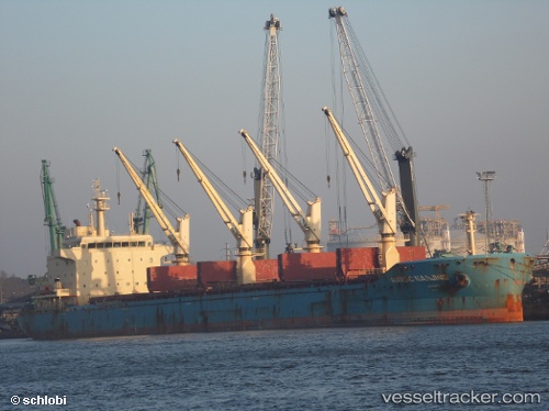
 NORDIC NANJING
Current Status
Where is the vessel?
NORDIC NANJING is currently in 258 nm W of Pedernales, based on AIS data received about 14h ago.
Latest AIS update:
Current position: 2.13355° N, 84.15358° W (258 nm W of Pedernales)
Average speed (last 7 days): Loading…
Average speed (last 30 days): Loading…
Vessel profile: NORDIC NANJING is a Bulk Carrier with dimensions m x m.
This page combines live AIS, route history, probable destination signals, nearby traffic, and port activity for practical vessel monitoring.
The current position of vessel NORDIC NANJING is 2.13355 lat / -84.15358 lng. Updated: 2026-05-17 22:16:06 UTCNearest reference points:
- 208 nm NW of Pedernales
Currently sailing under the flag of Liberia ![]()
Details:
Live Vessel NORDIC NANJING Analytics (details, animations, etc.)
Recent AIS points (UTC):
2026-05-17 19:44:44 UTC · 2.11532, -84.21016 · SOG 1.6 kn · COG 28°2026-05-17 20:09:47 UTC · 2.11820, -84.19971 · SOG 1.6 kn · COG 13°
2026-05-17 22:06:54 UTC · 2.13237, -84.15642 · SOG 1.2 kn · COG 341°
2026-05-17 22:16:06 UTC · 2.13355, -84.15358 · SOG 1.2 kn · COG 340°