 MICHALIS SAN
Current Status
Where is the vessel?
MICHALIS SAN is currently in 49 nm S of Faro, based on AIS data received about 15h ago.
Latest AIS update:
Current position: 36.21984° N, 7.75201° W (49 nm S of Faro)
Average speed (last 7 days): Loading…
Average speed (last 30 days): Loading…
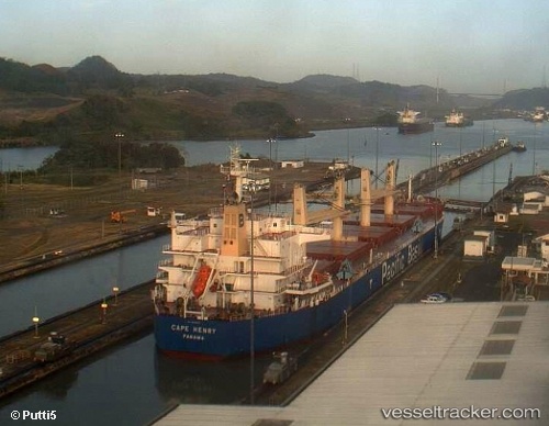
Vessel profile: MICHALIS SAN is a Bulk Carrier with dimensions m x m.
This page combines live AIS, route history, probable destination signals, nearby traffic, and port activity for practical vessel monitoring.
The current position of vessel MICHALIS SAN is 36.21984 lat / -7.75201 lng. Updated: 2026-05-22 08:10:25 UTCNearest reference points:
- 42 nm S of Faro
- 45 nm W of Gibraltar
- Near Olhão
Currently sailing under the flag of Malta ![]()
Details:
Live Vessel MICHALIS SAN Analytics (details, animations, etc.)
Recent AIS points (UTC):
2026-05-22 04:24:36 UTC · 36.38628, -8.48533 · SOG 9.7 kn · COG 107°2026-05-22 05:52:06 UTC · 36.32272, -8.20238 · SOG 9.8 kn · COG 108°
2026-05-22 07:28:16 UTC · 36.25235, -7.88598 · SOG 9.7 kn · COG 106°
2026-05-22 08:10:25 UTC · 36.21984, -7.75201 · SOG 9.8 kn · COG 106°