 vesseltracker.com
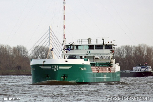
 AMPERE
Current Status
Where is the vessel?
AMPERE is currently in Near Halmstad, based on AIS data received less than 1h ago.
Latest AIS update:
Current position: 56.65702° N, 12.85176° E (Near Halmstad)
Average speed (last 7 days): Loading…
Average speed (last 30 days): Loading…
Vessel profile: AMPERE is a General Cargo Ship with dimensions 88m x 88m.
This page combines live AIS, route history, probable destination signals, nearby traffic, and port activity for practical vessel monitoring.
The current position of vessel AMPERE is 56.65702 lat / 12.85176 lng. Updated: 2026-04-30 23:57:15 UTCNearest reference points:
- Near Halmstad
- Near FALKENBERG
- Near Viken
Currently sailing under the flag of Latvia ![]()
AMPERE built in 2012 year
Deadweight:
2300 tDetails:
Live Vessel AMPERE Analytics (details, animations, etc.)
Recent AIS points (UTC):
2026-04-30 19:57:16 UTC · 56.65702, 12.85178 · SOG 0 kn · COG 31°2026-04-30 21:57:16 UTC · 56.65702, 12.85178 · SOG 0 kn · COG 31°
2026-04-30 22:54:15 UTC · 56.65703, 12.85177 · SOG 0 kn · COG 32°
2026-04-30 23:57:15 UTC · 56.65702, 12.85176 · SOG 0 kn · COG 31°