 MAGIC PLUTO
Current Status
Where is the vessel?
MAGIC PLUTO is currently in 200 nm N of Ramalde, based on AIS data received about 14h ago.
Latest AIS update:
Current position: 37.91853° S, 9.60827° W (200 nm N of Ramalde)
Average speed (last 7 days): Loading…
Average speed (last 30 days): Loading…
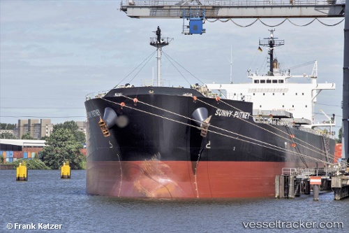
Vessel profile: MAGIC PLUTO is a Bulk Carrier with dimensions 32m x 225m.
This page combines live AIS, route history, probable destination signals, nearby traffic, and port activity for practical vessel monitoring.
The current position of vessel MAGIC PLUTO is -37.91853 lat / -9.60827 lng. Updated: 2026-05-19 05:03:02 UTCCurrently sailing under the flag of Marshall Islands ![]()
MAGIC PLUTO built in 2013 year
Deadweight:
74940 tDetails:
Live Vessel MAGIC PLUTO Analytics (details, animations, etc.)
Recent AIS points (UTC):
2026-05-19 01:30:32 UTC · -37.83770, -8.72054 · SOG 11.7 kn · COG 262°2026-05-19 01:31:35 UTC · -37.83822, -8.72463 · SOG 11.8 kn · COG 260°
2026-05-19 03:45:58 UTC · -37.88576, -9.28011 · SOG 12.4 kn · COG 260°
2026-05-19 05:03:02 UTC · -37.91853, -9.60827 · SOG 12.4 kn · COG 256°