 Sider Mompox
Current Status
Where is the vessel?
Sider Mompox is currently in Near Apollo Beach, based on AIS data received about 14h ago.
Latest AIS update:
Current position: 27.80665° N, 82.40742° W (Near Apollo Beach)
Average speed (last 7 days): Loading…
Average speed (last 30 days): Loading…
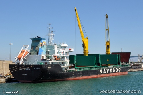
Vessel profile: Sider Mompox is a General Cargo Ship with dimensions 139m x 21m.
This page combines live AIS, route history, probable destination signals, nearby traffic, and port activity for practical vessel monitoring.
The current position of vessel Sider Mompox is 27.80665 lat / -82.40742 lng. Updated: 2026-05-20 12:20:57 UTCNearest reference points:
- Near Tampa
- Near St. Petersburg
- Near Port Manatee
Currently sailing under the flag of Panama ![]()
Details:
Live Vessel Sider Mompox Analytics (details, animations, etc.)
Recent AIS points (UTC):
2026-05-20 07:27:40 UTC · 27.91964, -82.42095 · SOG 0 kn · COG 29°2026-05-20 10:19:14 UTC · 27.91719, -82.42360 · SOG 4.5 kn · COG 210°
2026-05-20 10:20:05 UTC · 27.91625, -82.42422 · SOG 4.8 kn · COG 210°
2026-05-20 12:20:57 UTC · 27.80665, -82.40742 · SOG 0 kn · COG 270°