 CENTINELA I
Current Status
Where is the vessel?
CENTINELA I is currently in 33 nm W of Cruz Grande, based on AIS data received about 15h ago.
Latest AIS update:
Current position: 29.52621° S, 71.92006° W (33 nm W of Cruz Grande)
Average speed (last 7 days): Loading…
Average speed (last 30 days): Loading…
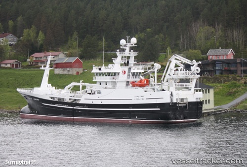
Vessel profile: CENTINELA I is a Fishing Vessel with dimensions m x m.
This page combines live AIS, route history, probable destination signals, nearby traffic, and port activity for practical vessel monitoring.
The current position of vessel CENTINELA I is -29.52621 lat / -71.92006 lng. Updated: 2026-05-19 13:58:29 UTCDetails:
Live Vessel CENTINELA I Analytics (details, animations, etc.)
Recent AIS points (UTC):
2026-05-19 10:41:11 UTC · -29.38763, -72.37036 · SOG 11.7 kn · COG 225°2026-05-19 11:19:03 UTC · -29.47402, -72.47329 · SOG 11.8 kn · COG 217°
2026-05-19 13:41:24 UTC · -29.51752, -71.98317 · SOG 11.9 kn · COG 69°
2026-05-19 13:58:29 UTC · -29.52621, -71.92006 · SOG 12.3 kn · COG 103°