 ONE AND ONLY
Current Status
Where is the vessel?
ONE AND ONLY is currently in 215 nm SW of Greenville, based on AIS data received about 15h ago.
Latest AIS update:
Current position: 2.13302° N, 11.19773° W (215 nm SW of Greenville)
Average speed (last 7 days): Loading…
Average speed (last 30 days): Loading…
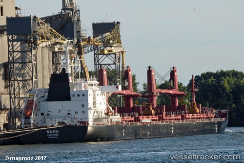
Vessel profile: ONE AND ONLY is a Cargo with dimensions m x m.
This page combines live AIS, route history, probable destination signals, nearby traffic, and port activity for practical vessel monitoring.
The current position of vessel ONE AND ONLY is 2.13302 lat / -11.19773 lng. Updated: 2026-05-20 13:27:09 UTCNearest reference points:
- 110 nm SW of River Cess
- 98 nm SW of Harper
- Open sea, approx. 401 nm off the nearest listed port
Currently sailing under the flag of Singapore ![]()
Details:
Live Vessel ONE AND ONLY Analytics (details, animations, etc.)
Recent AIS points (UTC):
2026-05-20 10:31:53 UTC · 2.57212, -11.49407 · SOG 11 kn · COG 142°2026-05-20 11:40:10 UTC · 2.39758, -11.37525 · SOG 11 kn · COG 143°
2026-05-20 13:11:27 UTC · 2.17213, -11.22272 · SOG 10.7 kn · COG 144°
2026-05-20 13:27:09 UTC · 2.13302, -11.19773 · SOG 10.6 kn · COG 142°