 UNITY ADVENTURE
Current Status
Where is the vessel?
UNITY ADVENTURE is currently in Near COEGA, based on AIS data received about 14h ago.
Latest AIS update:
Current position: 33.79870° S, 25.68838° E (Near COEGA)
Average speed (last 7 days): Loading…
Average speed (last 30 days): Loading…
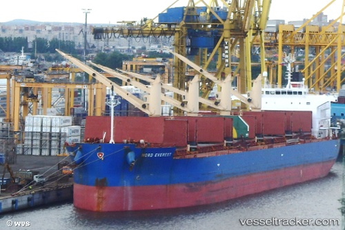
Vessel profile: UNITY ADVENTURE is a Cargo with dimensions m x m.
This page combines live AIS, route history, probable destination signals, nearby traffic, and port activity for practical vessel monitoring.
The current position of vessel UNITY ADVENTURE is -33.79870 lat / 25.68838 lng. Updated: 2026-05-21 07:23:04 UTCNearest reference points:
- Near Deal Party
- 21 nm S of Mount Pleasant
Currently sailing under the flag of Bahamas ![]()
Details:
Live Vessel UNITY ADVENTURE Analytics (details, animations, etc.)
Recent AIS points (UTC):
2026-05-21 03:53:04 UTC · -33.79870, 25.68837 · SOG 0 kn · COG 145°2026-05-21 04:35:04 UTC · -33.79869, 25.68841 · SOG 0.1 kn · COG 145°
2026-05-21 05:26:04 UTC · -33.79865, 25.68839 · SOG 0 kn · COG 145°
2026-05-21 07:23:04 UTC · -33.79870, 25.68838 · SOG 0 kn · COG 145°