The Diplomat
Current StatusWhere is the vessel?
The Diplomat is currently in 90 nm SW of Keti Bandar, based on AIS data received about 14h ago.
Latest AIS update:
Current position: 22.86260° N, 66.57866° E (90 nm SW of Keti Bandar)
Average speed (last 7 days): Loading…
Average speed (last 30 days): Loading…
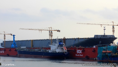
Vessel profile: The Diplomat is a Bitumen Tanker with dimensions 28m x 183m.
This page combines live AIS, route history, probable destination signals, nearby traffic, and port activity for practical vessel monitoring.
The current position of vessel The Diplomat is 22.86260 lat / 66.57866 lng. Updated: 2026-05-19 21:44:13 UTCNearest reference points:
- 84 nm SW of Keti Bandar
- 16 nm S of Kiamari
- Near Kiamari
Details:
Live Vessel The Diplomat Analytics (details, animations, etc.)
Recent AIS points (UTC):
2026-05-19 18:16:22 UTC · 22.89350, 66.51633 · SOG 1.4 kn · COG 177°2026-05-19 19:46:13 UTC · 22.87375, 66.54335 · SOG 1.1 kn · COG 168°
2026-05-19 19:53:12 UTC · 22.87244, 66.54549 · SOG 1.1 kn · COG 174°
2026-05-19 21:44:13 UTC · 22.86260, 66.57866 · SOG 1.4 kn · COG 174°