 Navigator Europa
Current Status
Where is the vessel?
Navigator Europa is currently in 59 nm W of NAKANOSHIMA, based on AIS data received about 14h ago.
Latest AIS update:
Current position: 36.10840° N, 131.85960° E (59 nm W of NAKANOSHIMA)
Average speed (last 7 days): Loading…
Average speed (last 30 days): Loading…
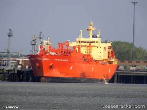
Vessel profile: Navigator Europa is a Lpg Tanker with dimensions 160m x 25m.
This page combines live AIS, route history, probable destination signals, nearby traffic, and port activity for practical vessel monitoring.
The current position of vessel Navigator Europa is 36.10840 lat / 131.85960 lng. Updated: 2026-07-15 19:47:13 UTCNearest reference points:
- 67 nm W of NAKANOSHIMA
- 63 nm NW of Unnan
- 37 nm NW of NAKANOSHIMA
Currently sailing under the flag of Liberia ![]()
Details:
Live Vessel Navigator Europa Analytics (details, animations, etc.)
Recent AIS points (UTC):
2026-07-15 16:13:57 UTC · 35.71175, 130.98628 · SOG 13.2 kn · COG 63°2026-07-15 17:25:06 UTC · 35.83844, 131.27357 · SOG 13.4 kn · COG 63°
2026-07-15 19:47:13 UTC · 36.10840, 131.85960 · SOG 14.4 kn · COG 61°
2026-07-15 19:47:13 UTC · 36.10840, 131.85960 · SOG 14.4 kn · COG 61°