 EMILY OLDENDORFF
Current Status
Where is the vessel?
EMILY OLDENDORFF is currently in 29 nm E of Cabedelo Pt, based on AIS data received about 14h ago.
Latest AIS update:
Current position: 6.78632° S, 34.38836° W (29 nm E of Cabedelo Pt)
Average speed (last 7 days): Loading…
Average speed (last 30 days): Loading…
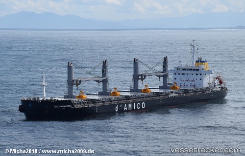
Vessel profile: EMILY OLDENDORFF is a Bulk Carrier with dimensions 180m x 30m.
This page combines live AIS, route history, probable destination signals, nearby traffic, and port activity for practical vessel monitoring.
The current position of vessel EMILY OLDENDORFF is -6.78632 lat / -34.38836 lng. Updated: 2026-05-19 15:34:00 UTCNearest reference points:
- 20 nm E of Natal
- Near Boa Viagem
- Near Suape
Currently sailing under the flag of Portugal (MAR) ![]()
EMILY OLDENDORFF built in 2015 year
Deadweight:
39202 tDetails:
Live Vessel EMILY OLDENDORFF Analytics (details, animations, etc.)
Recent AIS points (UTC):
2026-05-19 11:31:27 UTC · -7.55315, -34.36873 · SOG 11.8 kn · COG 6°2026-05-19 13:57:48 UTC · -7.08348, -34.32386 · SOG 10.7 kn · COG 348°
2026-05-19 14:01:47 UTC · -7.07180, -34.32637 · SOG 10.8 kn · COG 349°
2026-05-19 15:34:00 UTC · -6.78632, -34.38836 · SOG 11.6 kn · COG 346°