 ADALADY
Current Status
Where is the vessel?
ADALADY is currently in Near San-Pédro, based on AIS data received about 14h ago.
Latest AIS update:
Current position: 4.73715° N, 6.61726° W (Near San-Pédro)
Average speed (last 7 days): Loading…
Average speed (last 30 days): Loading…
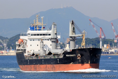
Vessel profile: ADALADY is a Cargo with dimensions m x m.
This page combines live AIS, route history, probable destination signals, nearby traffic, and port activity for practical vessel monitoring.
The current position of vessel ADALADY is 4.73715 lat / -6.61726 lng. Updated: 2026-05-21 01:03:13 UTCNearest reference points:
- Near Espoir
- 98 nm SW of Harper
Currently sailing under the flag of Liberia ![]()
Details:
Live Vessel ADALADY Analytics (details, animations, etc.)
Recent AIS points (UTC):
2026-05-20 21:54:14 UTC · 4.73706, -6.61721 · SOG 0 kn · COG 258°2026-05-20 23:48:11 UTC · 4.73709, -6.61716 · SOG 0.1 kn · COG 258°
2026-05-21 01:03:13 UTC · 4.73715, -6.61726 · SOG 0.1 kn · COG 258°
2026-05-21 01:03:13 UTC · 4.73715, -6.61726 · SOG 0.1 kn · COG 258°