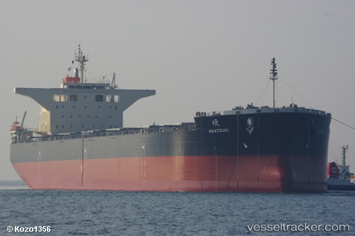
Akatsuki
Current StatusWhere is the vessel?
Akatsuki is currently in 11 nm S of CHOSHI, based on AIS data received about 14h ago.
Latest AIS update:
Current position: 35.56477° N, 140.93315° E (11 nm S of CHOSHI)
Average speed (last 7 days): Loading…
Average speed (last 30 days): Loading…
Vessel profile: Akatsuki is a Bulk Carrier with dimensions 43m x 235m.
This page combines live AIS, route history, probable destination signals, nearby traffic, and port activity for practical vessel monitoring.
The current position of vessel Akatsuki is 35.56477 lat / 140.93315 lng. Updated: 2026-07-17 08:17:56 UTCNearest reference points:
- 12 nm E of CHOSHI
- Near KASHIMA
- Near OHARA
Details:
Live Vessel Akatsuki Analytics (details, animations, etc.)
Recent AIS points (UTC):
2026-07-17 04:27:26 UTC · 34.93664, 140.42711 · SOG 10.9 kn · COG 36°2026-07-17 05:43:36 UTC · 35.12750, 140.58145 · SOG 11.2 kn · COG 36°
2026-07-17 08:02:27 UTC · 35.51889, 140.89651 · SOG 12.9 kn · COG 28°
2026-07-17 08:17:56 UTC · 35.56477, 140.93315 · SOG 12.5 kn · COG 26°