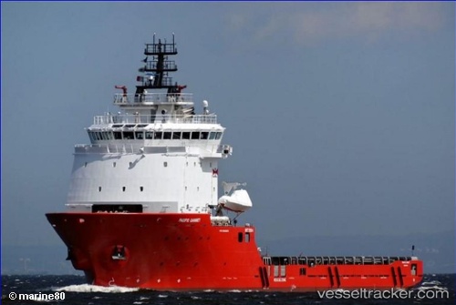
 PACIFIC GANNET
Current Status
Where is the vessel?
PACIFIC GANNET is currently in 64 nm NE of Troughton Island, based on AIS data received about 16h ago.
Latest AIS update:
Current position: 12.85333° S, 126.73667° E (64 nm NE of Troughton Island)
Average speed (last 7 days): Loading…
Average speed (last 30 days): Loading…
Vessel profile: PACIFIC GANNET is a Other Type with dimensions m x m.
This page combines live AIS, route history, probable destination signals, nearby traffic, and port activity for practical vessel monitoring.
The current position of vessel PACIFIC GANNET is -12.85333 lat / 126.73667 lng. Updated: 2026-06-17 04:04:34 UTCNearest reference points:
- 65 nm E of Front Puffin FPSO
Currently sailing under the flag of United Kingdom ![]()
Details:
Live Vessel PACIFIC GANNET Analytics (details, animations, etc.)
Recent AIS points (UTC):
2026-06-17 01:34:32 UTC · -12.76500, 127.29500 · SOG 13 kn · COG -1°2026-06-17 02:22:34 UTC · -12.79500, 127.11167 · SOG 13 kn · COG -1°
2026-06-17 04:02:08 UTC · -12.85274, 126.74599 · SOG 12.7 kn · COG 260°
2026-06-17 04:04:34 UTC · -12.85333, 126.73667 · SOG 12 kn · COG -1°