 ARYA
ARYA
Current Status
Where is the vessel?
ARYA is currently in Open sea (no nearby ports in database), based on AIS data received about 15h ago.
Latest AIS update:
Current position: 12.38167° S, 61.63167° E (Open sea (no nearby ports in database))
Average speed (last 7 days): Loading…
Average speed (last 30 days): Loading…
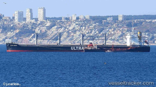
Vessel profile: ARYA is a Bulk Carrier with dimensions m x m.
This page combines live AIS, route history, probable destination signals, nearby traffic, and port activity for practical vessel monitoring.
The current position of vessel ARYA is -12.38167 lat / 61.63167 lng. Updated: 2026-05-20 02:07:23 UTCNearest reference points:
- Open sea (no nearby ports in database)
Currently sailing under the flag of Liberia ![]()
Details:
Live Vessel ARYA Analytics (details, animations, etc.)
Recent AIS points (UTC):
2026-05-19 22:02:50 UTC · -12.85719, 61.09491 · SOG 10.4 kn · COG 45°2026-05-19 23:34:18 UTC · -12.67500, 61.29167 · SOG 10 kn · COG -1°
2026-05-20 01:04:15 UTC · -12.50333, 61.49333 · SOG 10 kn · COG -1°
2026-05-20 02:07:23 UTC · -12.38167, 61.63167 · SOG 9 kn · COG -1°