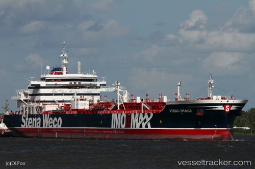
 STENA IMAGE
Current Status
Where is the vessel?
STENA IMAGE is currently in 24 nm NE of Bushiribana, based on AIS data received about 15h ago.
Latest AIS update:
Current position: 12.72524° N, 69.59238° W (24 nm NE of Bushiribana)
Average speed (last 7 days): Loading…
Average speed (last 30 days): Loading…
Vessel profile: STENA IMAGE is a Tanker with dimensions m x m.
This page combines live AIS, route history, probable destination signals, nearby traffic, and port activity for practical vessel monitoring.
The current position of vessel STENA IMAGE is 12.72524 lat / -69.59238 lng. Updated: 2026-06-13 07:39:49 UTCNearest reference points:
- 24 nm NW of Palm Beach
- Near Bullenbaai
- Near Las Piedras
Currently sailing under the flag of Denmark ![]()
Details:
Live Vessel STENA IMAGE Analytics (details, animations, etc.)
Recent AIS points (UTC):
2026-06-13 04:09:20 UTC · 12.12505, -69.14409 · SOG 13 kn · COG 285°2026-06-13 05:49:30 UTC · 12.41121, -69.33746 · SOG 12.8 kn · COG 322°
2026-06-13 07:37:38 UTC · 12.71893, -69.58759 · SOG 12.9 kn · COG 326°
2026-06-13 07:39:49 UTC · 12.72524, -69.59238 · SOG 12.9 kn · COG 327°