 vesseltracker.com
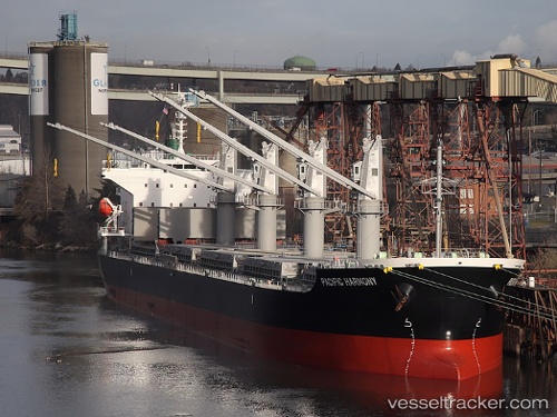
 PACIFIC HARMONY
Current Status
Where is the vessel?
PACIFIC HARMONY is currently in Near Choa Chu Kang, based on AIS data received about 19d ago.
Latest AIS update:
Current position: 1.27160° N, 103.88348° E (Near Choa Chu Kang)
Average speed (last 7 days): Loading…
Average speed (last 30 days): Loading…
Vessel profile: PACIFIC HARMONY is a Bulk Carrier with dimensions m x m.
This page combines live AIS, route history, probable destination signals, nearby traffic, and port activity for practical vessel monitoring.
The current position of vessel PACIFIC HARMONY is 1.27160 lat / 103.88348 lng. Updated: 2026-04-29 08:58:50 UTCNearest reference points:
- Near Choa Chu Kang
- Near Tampines
- Near Singapore
Currently sailing under the flag of Liberia ![]()
Details:
Live Vessel PACIFIC HARMONY Analytics (details, animations, etc.)
Recent AIS points (UTC):
2026-04-29 08:58:50 UTC · 1.27160, 103.88348 · SOG 0.1 kn · COG 107°