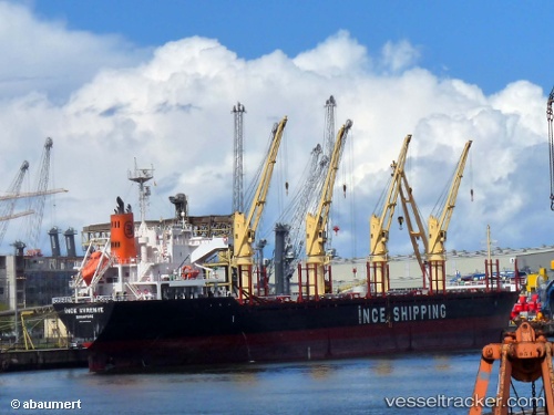
 MARIGOLD
Current Status
Where is the vessel?
MARIGOLD is currently in 386 nm N of Cap Malheureux, based on AIS data received about 15h ago.
Latest AIS update:
Current position: 13.69833° S, 59.03833° E (386 nm N of Cap Malheureux)
Average speed (last 7 days): Loading…
Average speed (last 30 days): Loading…
Vessel profile: MARIGOLD is a Bulk Carrier with dimensions m x m.
This page combines live AIS, route history, probable destination signals, nearby traffic, and port activity for practical vessel monitoring.
The current position of vessel MARIGOLD is -13.69833 lat / 59.03833 lng. Updated: 2026-05-21 20:15:08 UTCNearest reference points:
- Open sea, approx. 403 nm off the nearest listed port
- Open sea, approx. 409 nm off the nearest listed port
- Open sea, approx. 408 nm off the nearest listed port
Currently sailing under the flag of Barbados ![]()
Details:
Live Vessel MARIGOLD Analytics (details, animations, etc.)
Recent AIS points (UTC):
2026-05-21 16:01:41 UTC · -13.26833, 59.66500 · SOG 11 kn · COG -1°2026-05-21 17:33:58 UTC · -13.43023, 59.42304 · SOG 10.4 kn · COG 226°
2026-05-21 19:03:29 UTC · -13.58579, 59.21305 · SOG 10.2 kn · COG 226°
2026-05-21 20:15:08 UTC · -13.69833, 59.03833 · SOG 10 kn · COG -1°