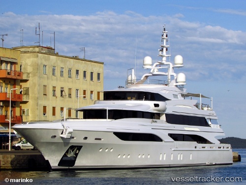
Formosa
Current StatusWhere is the vessel?
Formosa is currently in Near Lacco Ameno, based on AIS data received about 15h ago.
Latest AIS update:
Current position: 40.75653° N, 13.89428° E (Near Lacco Ameno)
Average speed (last 7 days): Loading…
Average speed (last 30 days): Loading…
Vessel profile: Formosa is a Sailing Vessel with dimensions 10m x 61m.
This page combines live AIS, route history, probable destination signals, nearby traffic, and port activity for practical vessel monitoring.
The current position of vessel Formosa is 40.75653 lat / 13.89428 lng. Updated: 2026-07-07 00:56:52 UTCNearest reference points:
- Near MERGELLINA
- Near Naples
- Near Anacapri
Details:
Live Vessel Formosa Analytics (details, animations, etc.)
Recent AIS points (UTC):
2026-07-06 21:26:48 UTC · 40.75663, 13.89467 · SOG 0 kn · COG 42°2026-07-06 22:25:00 UTC · 40.75643, 13.89491 · SOG 0.1 kn · COG 348°
2026-07-07 00:38:52 UTC · 40.75692, 13.89490 · SOG 0 kn · COG 174°
2026-07-07 00:56:52 UTC · 40.75653, 13.89428 · SOG 0.2 kn · COG 81°