 vesseltracker.com
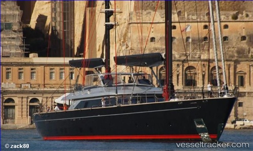
 SEAHAWK
Current Status
Where is the vessel?
SEAHAWK is currently in Near San Diego, based on AIS data received less than 1h ago.
Latest AIS update:
Current position: 32.70381° N, 117.16231° W (Near San Diego)
Average speed (last 7 days): Loading…
Average speed (last 30 days): Loading…
Vessel profile: SEAHAWK is a Houseboat with dimensions 10m x 58m.
This page combines live AIS, route history, probable destination signals, nearby traffic, and port activity for practical vessel monitoring.
The current position of vessel SEAHAWK is 32.70381 lat / -117.16231 lng. Updated: 2026-05-13 19:01:15 UTCNearest reference points:
- Near Coronado
- Near San Diego
- Near Ocean Beach
Currently sailing under the flag of Cayman Islands ![]()
SEAHAWK built in 2013 year
Deadweight:
77 tDetails:
Live Vessel SEAHAWK Analytics (details, animations, etc.)
Recent AIS points (UTC):
2026-05-13 16:12:49 UTC · 32.70434, -117.16181 · SOG 0 kn · COG 220°2026-05-13 16:12:49 UTC · 32.70434, -117.16181 · SOG 0 kn · COG 220°
2026-05-13 17:54:36 UTC · 32.59013, -117.24202 · SOG 13.3 kn · COG 15°
2026-05-13 19:01:15 UTC · 32.70381, -117.16231 · SOG 1.3 kn · COG 209°